

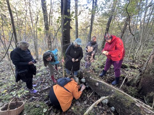
On 18 October 2026, the Latvian Mycological Society held an excursion in the “Salacas ieleja” (Salaca Valley) Nature Park. Its…

Hydromorphological mapping of rivers using remote sensing methods has been carried out within the Life is Salaca project
With the introduction of the Water Framework Directive 2000/60/EC, the hydromorphological quality of rivers and its assessment have become increasingly important. Hydromorphological quality includes, for example, the diversity of the riverbed substrate and of the flow, changes in width and depth, and the intensity of land drainage. Under this directive, hydromorphology is one of the factors included in the ecological quality assessment system, and it is particularly important for interpreting the diversity of biological indicators (aquatic plants, benthic invertebrates, etc.).
The hydromorphological quality of rivers includes parameters such as the diversity of the river substrate and flow, the depth and width of the bed, overgrowth with aquatic plants, the slope and vegetation of the banks, beaver dams, fallen trees and so on. Hydromorphological mapping also records various man-made alterations: stone piles and their height, fords, various excavations of the riverbed and other changes.
Until now, both worldwide and in Latvia, hydromorphological quality methods have mostly been based on field surveys of rivers, where an expert walks or boats along the river metre by metre and records or measures the necessary river parameters in a fieldwork protocol. Usually the river is divided into 500 m or 1,000 m sections, and depending on the complexity of the river and the expert’s qualifications, about 3.5–5 km can be mapped in a day. This means that mapping the hydromorphological quality of the whole Salaca, for example, would take almost 3 weeks.
In recent years, with the development of various remote sensing methods, there has been an increase in studies in which the hydromorphological mapping of rivers is carried out with drones. This method has several advantages: up to 20 km of river can be surveyed in a day, the occurrence of rapids can be marked precisely, information on the connection between the main channel and oxbow lakes can be obtained much better, and so on.
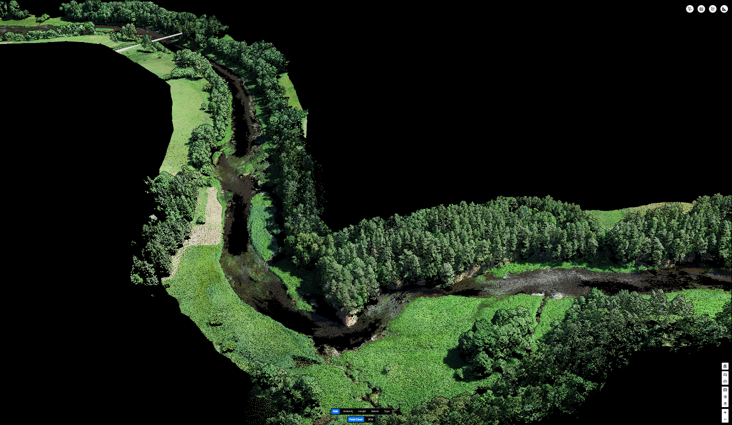
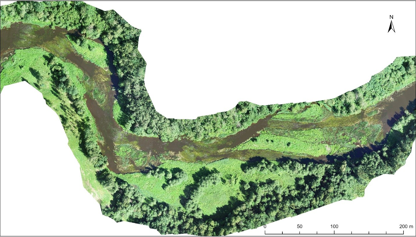
In the summer of 2024, when the hydromorphological mapping of rivers in the Salaca basin was carried out, drone mapping was used for the first time in Latvia in addition to the experts’ field surveys. During the drone mapping, data were collected from altitudes between 80 and 120 metres, which ensured sufficient spatial resolution (<3 cm/px), coverage and speed of work. The flights used an L1 sensor capable of capturing high-precision LiDAR data – point clouds in .las format – as well as RGB images, from which orthophotos (in TIFF format) were created. DJI Terra Pro software was used for data processing, while missions were planned and prepared with the DJI Pilot 2 app. We analysed the data with GIS (geographic information system) software that recognises both TIFF files and LiDAR data.
The drone survey was carried out at about the same time as the field surveys, and in both cases the same river section was surveyed. The remote sensing data were integrated into the newly developed harmonised hydromorphological quality protocol.
Remote sensing methods can provide information such as the number of large boulders, the density of fallen trees and log jams, overgrowth of the river with aquatic plants, the area of rapids and so on.
During the LIFE is Salaca project, it was concluded that drone mapping of the hydromorphology of rivers is a good tool for assessing certain groups of parameters, but, at least with the digital resources currently available to LEGMC, it cannot replace mapping rivers on foot or by boat. A drone can quickly and accurately provide information on the river type (the alternation of riffles and pools), which is the very foundation for further analysis of the river’s ecological quality. The main drawback is that remote sensing methods cannot provide information on the diversity of the riverbed substrate, changes in depth and various underwater forms. Nor is this method suitable for small and medium-sized rivers, whose banks are usually heavily overgrown with shrubs, creating shade.
Although drone mapping of river hydromorphology cannot currently meet all the requirements of the Water Framework Directive 2000/60/EC, it is an excellent tool for various local-scale studies, for example river typology or the impact of riparian forests on the amount of fallen trees, and it can be a great help in hard-to-reach places. A drone can also be used to carry out a quick and convenient preliminary survey to identify river sections where in-depth studies of hydromorphological and habitat quality are needed.